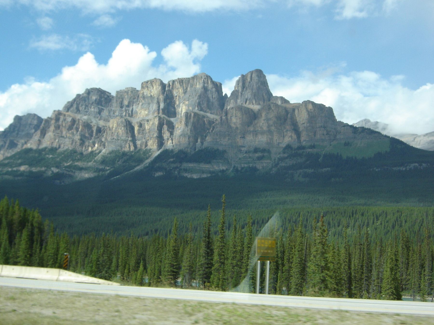
Between Banff and Lake Louise there are two roads. The Trans-Canada Highway is four lanes, fenced on both sides, fast and efficient. The Bow Valley Parkway, Highway 1A, runs a few kilometres away on the other side of the Bow River: two lanes, curves, a low speed limit and almost no reason to hurry. It is about 50 km long, and the difference between the two roads is the difference between getting somewhere and going somewhere.
The 1A was the original road through this part of the valley, and it still feels like it. Picnic areas sit by the river, viewpoints face the mountains rather than the traffic, and the speed limit is low enough that animals have a chance to cross.
The rules that make it slow
The limit on the parkway is 60 km/h, and lower in a few places. It is enforced, and it is there for wildlife: elk, deer, wolves, black bears and grizzlies all use the valley floor, and the parkway runs through some of the best habitat in the park.
For the same reason, the eastern section of the parkway, roughly between Banff and Johnston Canyon, is closed to all traffic overnight each spring, from early March to late June. During those months animals feed and move along the valley at dusk and dawn, and the closure gives them room. Plan any spring drive for the middle of the day. In recent years parts of the eastern section have also been closed to cars for cycling during spells in spring and early autumn; check current rules before you go.
From Banff to the canyon
The parkway leaves Highway 1 a few kilometres west of the Banff townsite. Almost at once the traffic noise fades. The first stretch runs through open forest and meadow, with occasional viewpoints over the Bow River and the Sawback Range to the north. Watch the meadows here early and late in the day; elk are often grazing in plain view.
About a third of the way along is Johnston Canyon, the busiest stop on the parkway, with catwalks leading to two waterfalls. In summer, try to be there before the car park fills, then continue west with the rest of the morning ahead of you.
Castle Mountain and the middle valley
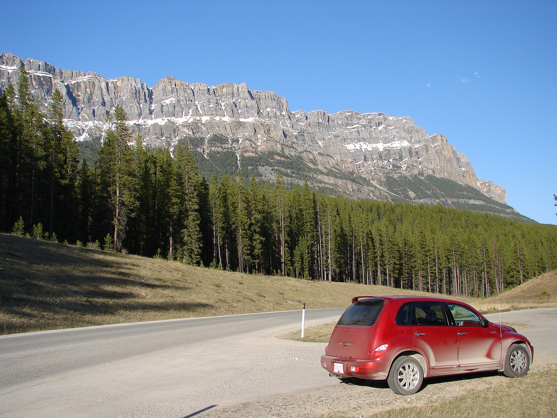
Castle Mountain is impossible to miss. Its long cliff of layered rock rises above the forest like a fortress wall, with turrets and battlements carved by erosion. For a few decades in the twentieth century it carried another name, before the original was restored; the tower at its eastern end kept the later name.
Also on Highway 1AJohnston Canyon early or late: the lower and upper fallsAt Castle Junction the parkway meets a link road to the Trans-Canada and to Highway 93 South towards Kootenay National Park in British Columbia. Stay on the 1A. The road continues west through the valley, past Baker Creek and the quiet stretches where the river comes close to the road.
The railway on the other bank
The Canadian Pacific main line runs along the Bow Valley too, and from the parkway you will see long freight trains winding along the far side of the river. Near the western end, a few kilometres before Lake Louise, the line swings around a sweeping bend in the river with the mountains behind. The pull-out above this bend is known as Morant's Curve, named after a railway photographer whose pictures made it famous.
Trains run at no fixed time for visitors, so catching one at the curve is luck and patience. When one does pass, the curve shows the scale of the valley better than anything else on the road.
Driving it both ways
Most people drive the parkway west, from Banff to Lake Louise. Try it east as well, especially late in the day. The light falls differently, the mountains you had behind you are now in front, and the animals that were bedded down at noon come out to feed. A slow drive east in the evening, ending in Banff for dinner, is one of the best ways to finish a day in the park.
If you are heading on to Jasper, the parkway joins Highway 1 at Lake Louise, a few minutes from the start of the Icefields Parkway.
Reading the valley as you go
The Bow Valley is a textbook glacial valley, broad and flat-floored with steep walls, carved by ice that filled it to great depths during the last ice age. From the parkway you can see the pattern clearly: the river meandering across a wide floor of gravel and meadow, the forest rising on the lower slopes, and bare rock above. The mountains on the north side are tilted slabs of limestone, all leaning the same way, which gives the Sawback Range its saw-toothed profile.
Fire has shaped the valley too. Parks Canada uses prescribed burns to renew the forest and the meadows that elk and other grazers depend on, and you may pass patches of standing dead trees with young pines growing between them.
Picnics and stops along the way
The parkway has several picnic areas with tables and shelters, some beside the river and some in quiet clearings. Use them; they are part of what makes this road different. Pack everything out again, and never leave food unattended, even for a minute. Bears and ravens in this valley are quick to learn where an easy meal can be found, and animals that learn that habit rarely end well.
There are no shops or fuel stations on the parkway itself. Fill up and buy supplies in Banff or Lake Louise before you start.