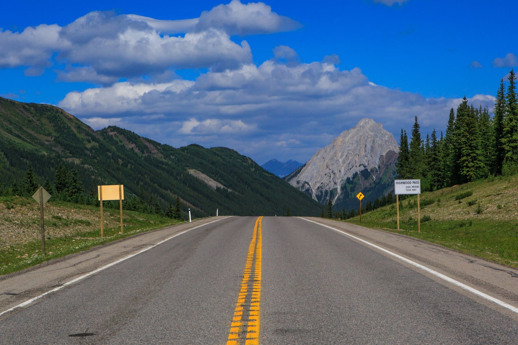
Highway 40, the Kananaskis Trail, runs south from the Trans-Canada through the heart of Kananaskis Country. For most of its length it follows broad valleys between steep, grey peaks. Then, south of the Kananaskis Lakes, it climbs through forest and meadow to the Highwood Pass, at more than 2,200 metres above sea level. It is the highest paved road in Canada.
The pass is closed to vehicles for half the year. That simple fact shapes everything about the drive: it is a summer road, and when it opens each June, people from Calgary and beyond make a point of driving it.
The closure and the reasons for it
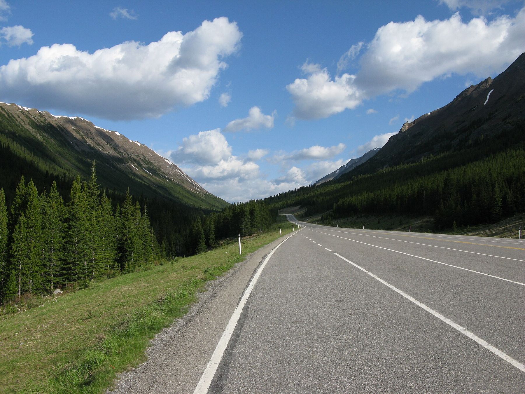
Every year, the section of Highway 40 between the Kananaskis Lakes Trail junction and Highwood Junction is closed from 1 December to 15 June. The closure protects wintering wildlife and avoids clearing a high, avalanche-prone road through the snowiest months. It also means the pass is one of the most peaceful places in the Rockies in late spring, when the road is still shut to cars but free of snow.
In the weeks before it reopens, the closed road becomes a popular route for cyclists, who climb the empty pavement to the pass and coast back down. If you plan to do this, check the current rules and road conditions, and be prepared for snow on the verges, cold winds and wildlife on the road.
Before setting off at any time of year, check the provincial road report for closures and conditions; storms can close the road even in summer.
Driving up from the north
From the Trans-Canada, Highway 40 runs south past Barrier Lake and the Kananaskis Village area. Mount Kidd and the Fortress rise above the valley, and the road follows the Kananaskis River. This northern section is open all year.
Past the turnoff to the Kananaskis Lakes, the road begins to climb. The forest thins, the views widen, and the meadows of the pass open up above the treeline. In early summer, snow lingers in the gullies above the road. By late summer, the slopes are green and dotted with wildflowers.
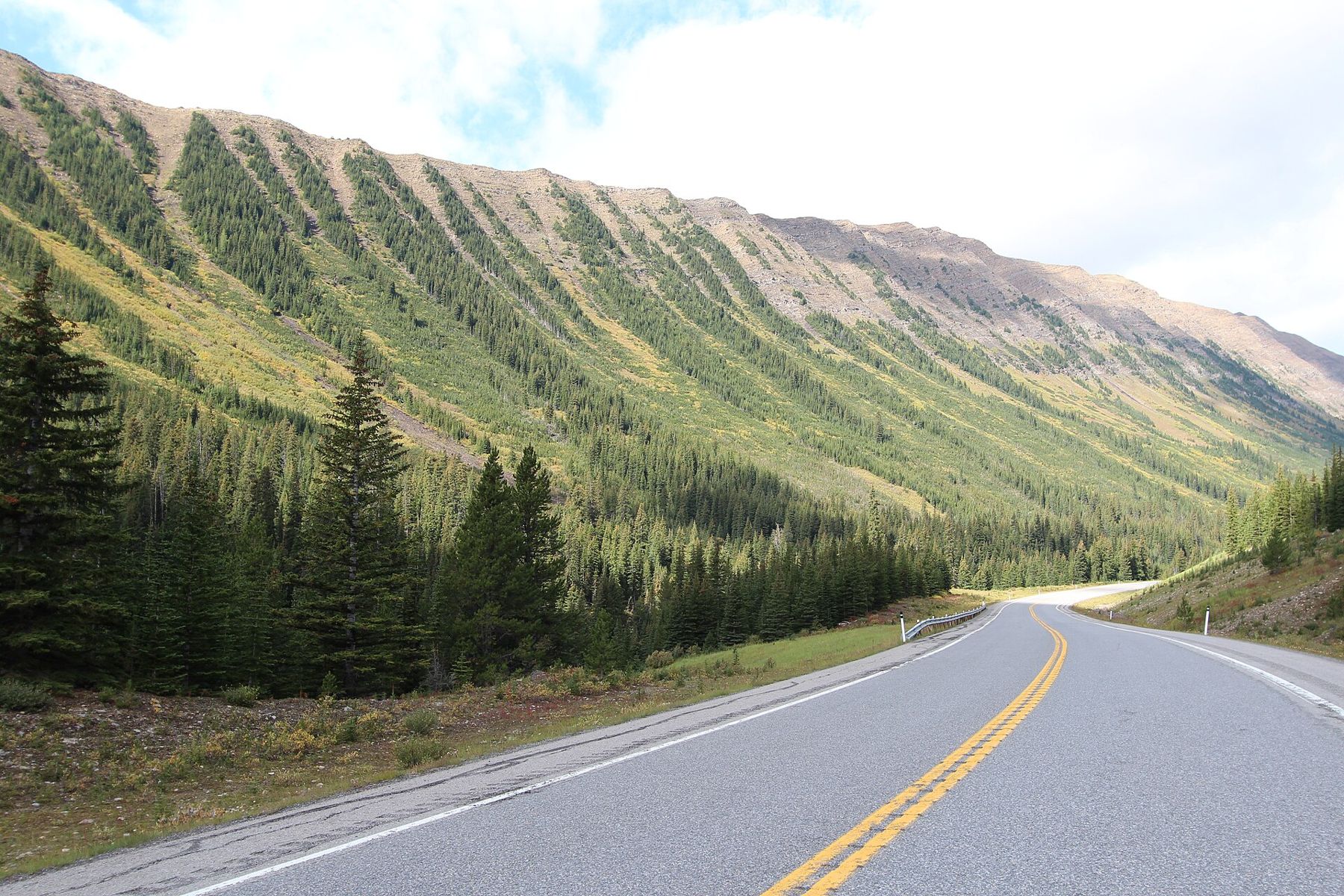
Ptarmigan Cirque from the top of the road
At the pass itself, the Highwood Meadows day-use area has a short interpretive trail through the alpine meadow. Across the road, a steeper trail climbs to Ptarmigan Cirque, a high bowl surrounded by cliffs and scree slopes. The loop is about 4.5 km and takes two to three hours. It starts high, so the climb is modest for the scenery, but the trail is steep in places and the weather changes quickly.
In the cirque, look for marmots and pikas among the rocks, and for white-tailed ptarmigan, the birds that give it its name. Mountain goats and bighorn sheep are often seen on the slopes above. Grizzly bears use these meadows too, and trail closures for bear activity are common in late summer; follow any posted notice.
Also on Highway 40Bighorn sheep on the road: how to pass them, and why not to feed themThe subalpine larch is a conifer that loses its needles each year. In mid to late September, the larch stands around the pass turn gold before the needles fall, lighting up the slopes against dark spruce and the first snow on the peaks. The display lasts only a couple of weeks, and it draws large crowds on weekends. Go on a weekday if you can, and arrive early.
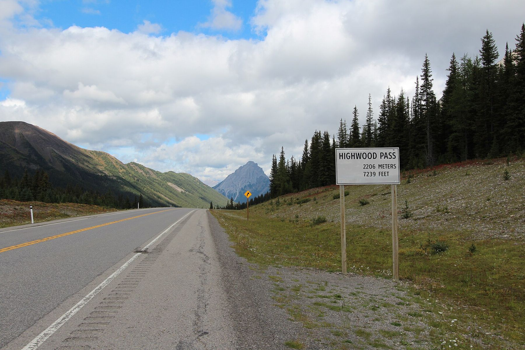
Down the other side to the Highwood River
South of the pass, the road descends into the valley of the Highwood River, following it out of the mountains towards the foothills. The landscape changes quickly: the steep grey peaks give way to rounded hills, forest and finally open ranchland near Highwood Junction. From there, roads lead east towards Longview and the prairie, or south towards the Crowsnest Pass.
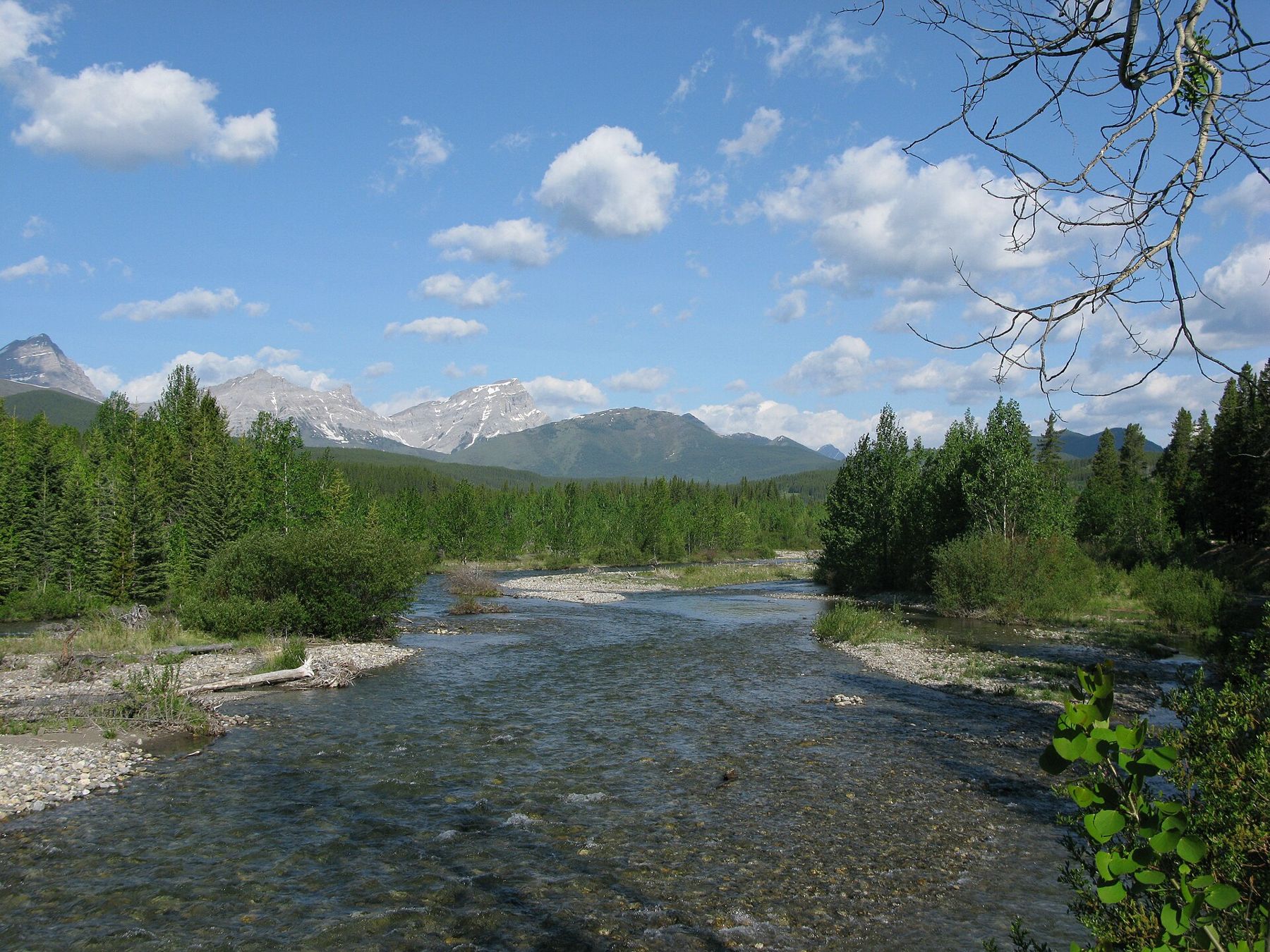
This southern descent is quieter than the northern side, and it is a good way to make a loop back towards Calgary through the foothills rather than returning the way you came.
It is the highest paved road in Canada.
Plants that live on the pass
The meadows at the top of the pass are alpine and subalpine, with a growing season of a few weeks. In July they fill with flowers: western anemones with their feathery seed heads, glacier lilies close to melting snow, Indian paintbrush in reds and pinks, and low mats of moss campion and white mountain avens. By August the colours fade to greens and golds, and by September the larches take over.
These plants grow slowly and recover from damage very slowly. Stay on the boardwalk and marked trails at Highwood Meadows, and do not pick anything. The interpretive trail at the pass explains the plants and the harsh conditions they survive, and it is a short, easy walk for anyone who does not want to climb.
A loop from Calgary over the Highwood Pass is one of the classic drives in southern Alberta: west on the Trans-Canada, south on Highway 40 through Kananaskis and over the pass, then east through the Highwood valley and back to the city through the foothills ranch country. It takes a full day with stops, and in good weather it shows the whole range of the eastern Rockies, from high alpine to rolling grassland, in a few hours.
Leave early to find space at the trailheads, especially on summer weekends, and give yourself time at the pass. The best of the drive is in the stops, not the kilometres. If you only have half a day, drive as far as the pass from the north, walk the meadow trail or the cirque, and return the same way; the views on the way down the Kananaskis valley are different enough to feel like a new road.
Practical notes for the high road
A Kananaskis Conservation Pass is required for vehicles stopping in Kananaskis Country. There are no services across the pass, so fuel up before you leave the Trans-Canada or in the foothills towns. Phone signal is limited, so download maps and trail notes before you leave the valley. Weather at 2,200 metres can be cold, wet or snowy in any month, and afternoon thunderstorms are common in summer.
Wildlife on the road is a real hazard: bighorn sheep in particular stand on the pavement to lick salt and minerals. Slow down, give them space and never feed them.