40
About 105 km to the pass · Kananaskis Country
Kananaskis Trail and the Highwood Pass
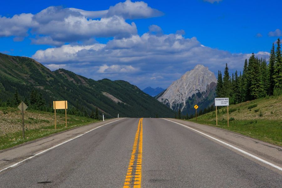
Alberta's highest paved road crosses Highwood Pass at over 2,200 metres. The southern section is closed from early December to mid-June, which makes the summer drive feel like an event.
- Highway 40, from Barrier Lake south
Bighorn sheep on the road: how to pass them, and why not to feed them
In Kananaskis Country the animals often get to the road before you do. Sheep lick salt off the pavement, bears graze the verges, and a careless stop can end badly for both.
Highway 40, from Barrier Lake south · Kananaskis Country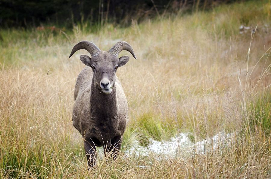
- Kananaskis Lakes Trail, off Highway 40
Upper and Lower Kananaskis Lakes
Two big reservoirs sit at the head of the Kananaskis valley, ringed by peaks. A shoreline trail, a hanging lake and a waterfall make for a full day without much climbing.
Kananaskis Lakes Trail, off Highway 40 · Kananaskis Country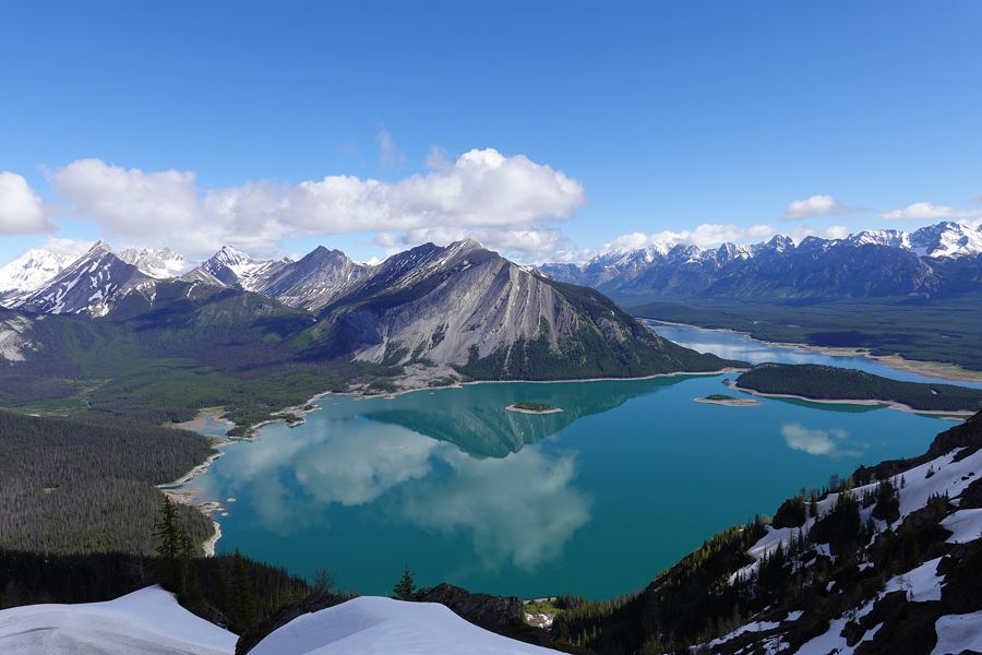
- About 105 km south of Highway 1
The Highwood Pass: Alberta's highest paved road, open half the year
Highway 40 climbs to more than 2,200 metres in Kananaskis Country, then closes to cars for half the year. When it is open, the pass is a meadow you can drive to.
About 105 km south of Highway 1 · Kananaskis Country