The Icefields Parkway is only one road, but it behaves like a series of separate drives stitched together. The first stretch north of Lake Louise is all water and reflections. The middle rises past the headwaters of the North Saskatchewan and climbs the Big Hill. The far end runs beside the Columbia Icefield and then drops through forest towards the Athabasca River and the town of Jasper. People who try to do it as a transfer between two hotels tend to arrive tired and remember very little. People who treat it as the day itself usually call it the best road they have driven.
The distance is 232 km, and without stops it takes a little over three hours. A comfortable day with the main stops takes nine to eleven hours, which is why an early start matters more than anything else on this page.
The order that works going north
Driving north from Lake Louise puts the sun behind you on the southern lakes in the morning and keeps the long climbs for the middle of the day. The stops below run in that order, with rough distances from the Lake Louise junction.
| Stop | About km | Give it |
|---|---|---|
| Herbert Lake | 3 | 15 minutes |
| Bow Lake | 37 | 30 minutes |
| Bow Summit and Peyto Lake | 41 | 45 minutes |
| Waterfowl Lakes | 57 | 20 minutes |
| Mistaya Canyon | 72 | 40 minutes |
| Saskatchewan Crossing | 77 | Fuel, lunch |
| Columbia Icefield | 127 | One to two hours |
| Sunwapta Falls | 175 | 30 minutes |
| Athabasca Falls | 200 | 40 minutes |
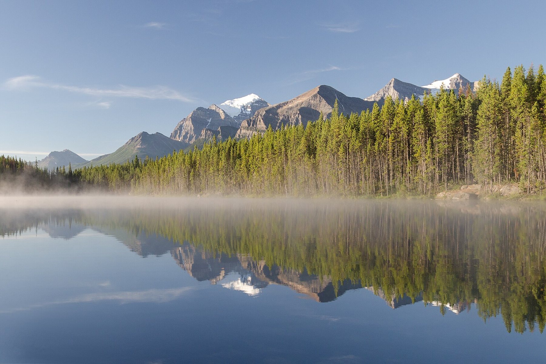
Herbert Lake comes so soon after the junction that many drivers pass it without noticing. Stop anyway. On a still morning it holds the peaks of the Bow Range upside down, and there is rarely anyone else on the shore before eight.
Bow Lake, Bow Summit and the first high ground
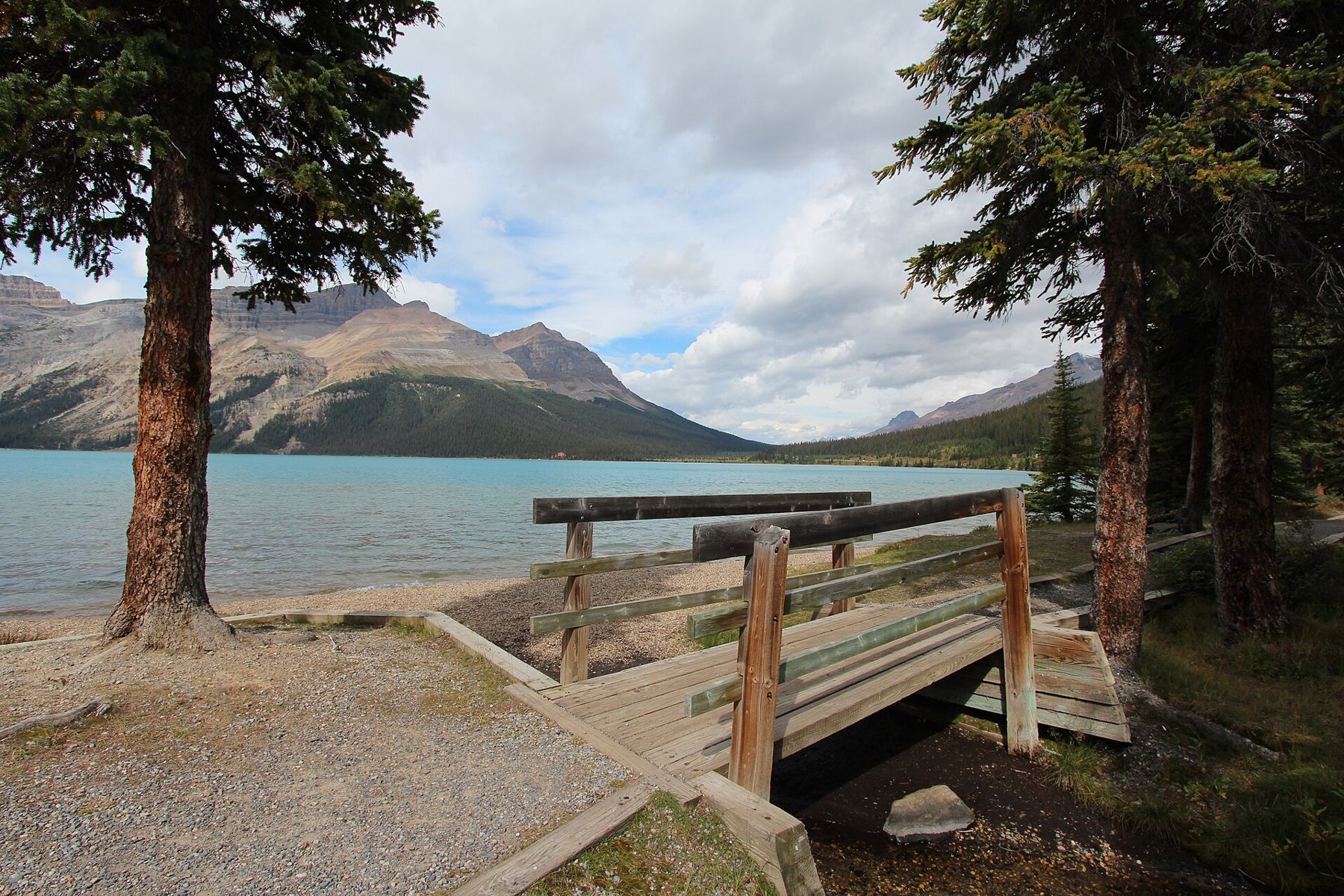
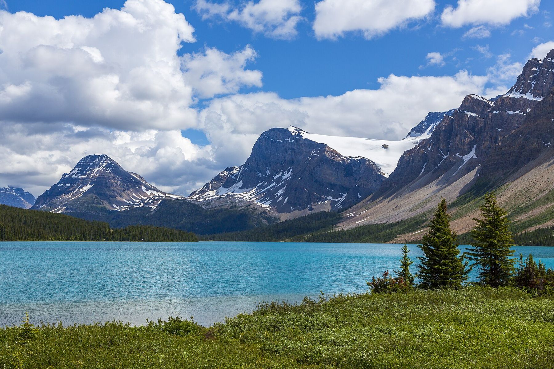
Bow Lake sits at the source of the Bow River, the same river that later runs past Banff and through Calgary. The pull-out on the east side gives the classic view across the water to Crowfoot Mountain and the edge of the Wapta Icefield. A short walk along the shore is enough; the full trail to Bow Glacier Falls is a half-day hike and belongs to another trip.
Four kilometres on, the road reaches Bow Summit, the highest point of the parkway at a little over 2,000 metres. The paved path up to the viewpoint over Peyto Lake takes ten to fifteen minutes each way. Snow lingers here into June, and the car park fills by mid-morning in July and August, so this is the stop where an early start pays off most.
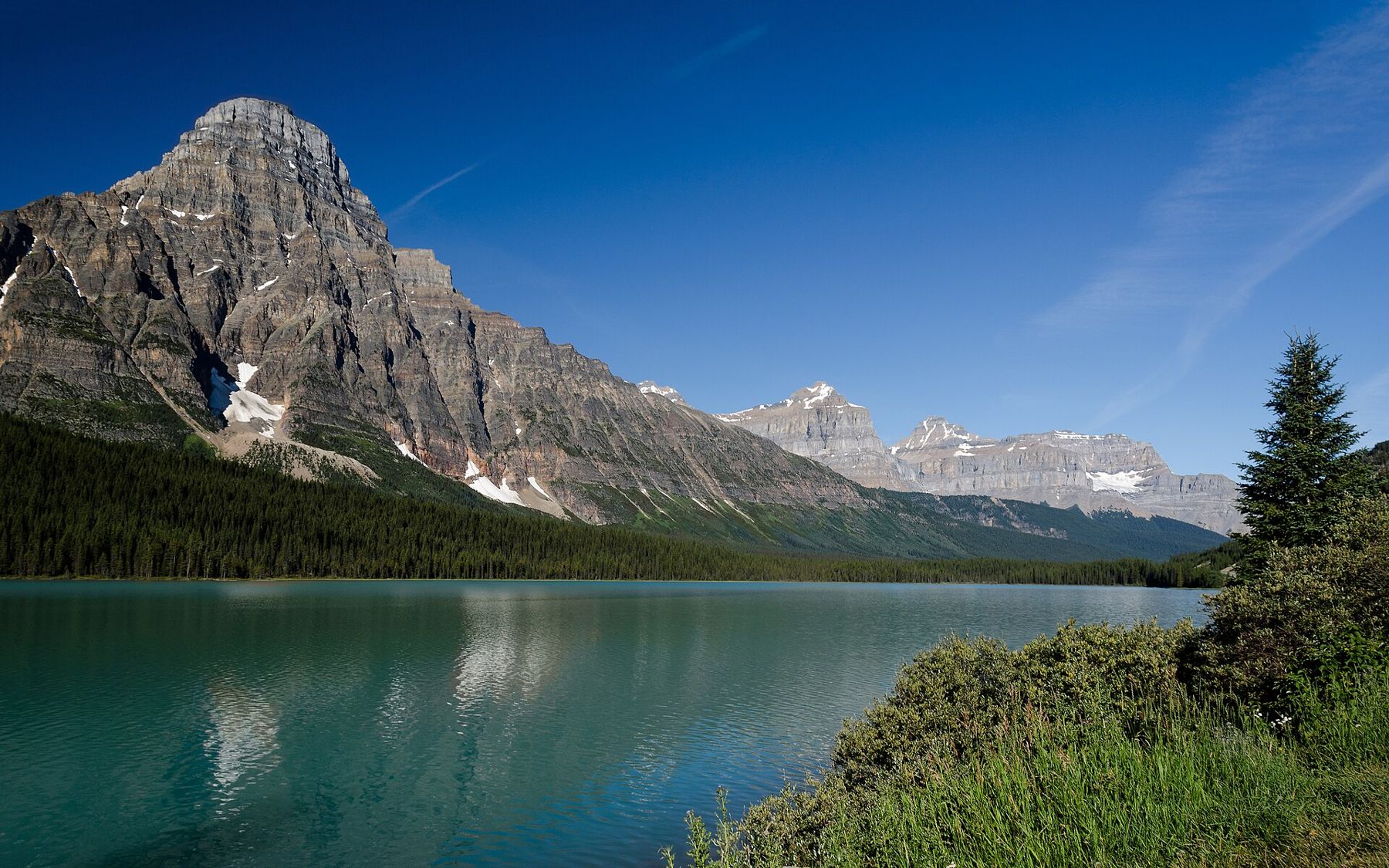
Waterfowl Lakes follow in a broad valley below Mount Chephren. There is little to do but look, which is the point. Pull in, walk to the water and let the road noise drop away for a few minutes before the next long run.
Mistaya Canyon and the middle of the day
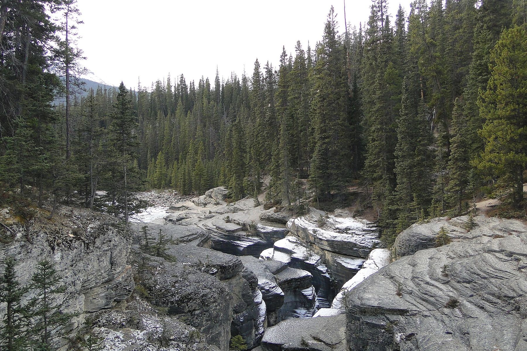
Mistaya Canyon is the easiest canyon on the road to miss and one of the best. A short trail drops from the car park through forest to a footbridge over a slot that the Mistaya River has carved and polished into smooth curves and potholes. The walk down is gentle; the walk back up is short but steady. Keep children well back from the edges, where the rock is rounded and slippery and there are no fences.
Also on Highway 93Walking to the toe of the Athabasca Glacier, and why the markers matterFive minutes further, Saskatchewan Crossing is the only place between Lake Louise and Jasper with fuel, food and toilets in one spot, and it is seasonal. In spring and autumn its opening can be limited, so do not count on it. The safe rule is simple: fill up at Lake Louise, and treat anything in between as a bonus.
North of the crossing, the road follows the North Saskatchewan to the Big Bend and then climbs the Big Hill in a long switchback. There is a viewpoint on the climb looking back down the valley, and another at Bridal Veil Falls across the gorge. Neither needs more than a few minutes.
The icefield, and where the day usually runs late
Sunwapta Pass marks the boundary between Banff and Jasper national parks, and a few kilometres beyond it the Athabasca Glacier comes into view, spilling from the Columbia Icefield almost down to the road. This is where most itineraries slip. Walking to the toe of the glacier takes about an hour there and back, and the commercial ice tours run on their own schedule. Decide before you set off how long you will give it, and keep to that.
After the icefield the parkway descends steadily through the Sunwapta valley. The two great waterfalls of the northern section, Sunwapta and Athabasca, are both close to the road and both worth stopping for, even late in the day. Athabasca Falls is the better of the two if you only have energy for one.
Jasper is about thirty minutes beyond Athabasca Falls. Arriving at dusk is normal, and so is seeing elk on the verges for the last stretch into town.
Driving it twice, once each way, is the best way to see it, and nobody who has done that regrets the second run.
Wildlife, signal and the rules of the road
Bears, bighorn sheep, mountain goats and elk are all regularly seen from the parkway, and wildlife jams are part of the drive. The rule is to pull fully off the road at a proper pull-out, stay in the car, and move on after a moment. Never feed an animal and never stop in a lane of traffic: the road is fast, and most collisions here happen because one driver stops suddenly for a bear and another does not.
There is no mobile phone coverage for most of the route. Download maps before you leave, and tell someone your plan. In an emergency, the icefield area and Saskatchewan Crossing are the places most likely to have staff or a landline in season.
A Parks Canada pass is needed for the parkway: the road runs entirely through Banff and Jasper national parks. From 1 November to 1 April, winter tyres or chains must be carried by law, and the road can close for avalanche control. The shoulder seasons bring their own surprises, from lakes still frozen in early June to fresh snow in September.
If one day is not enough
The parkway is just as good southbound, with afternoon light on the Waterfowl Lakes and the long view down to Bow Lake from the summit. Driving it twice, once each way, is the best way to see it, and nobody who has done that regrets the second run.