Traveling AlbertaThe Rockies, road by road
Choose a road93Icefields1ABow Valley1Banff40Kananaskis5Waterton16Jasper
Six roads into the mountains

Pick a highway number. The mountains come with it.

Alberta’s Rockies are reached by a handful of roads, and each one has its own character: a glacier parkway, a slow valley drive, a high pass that closes for half the year. Everything here is sorted by the road you are on.

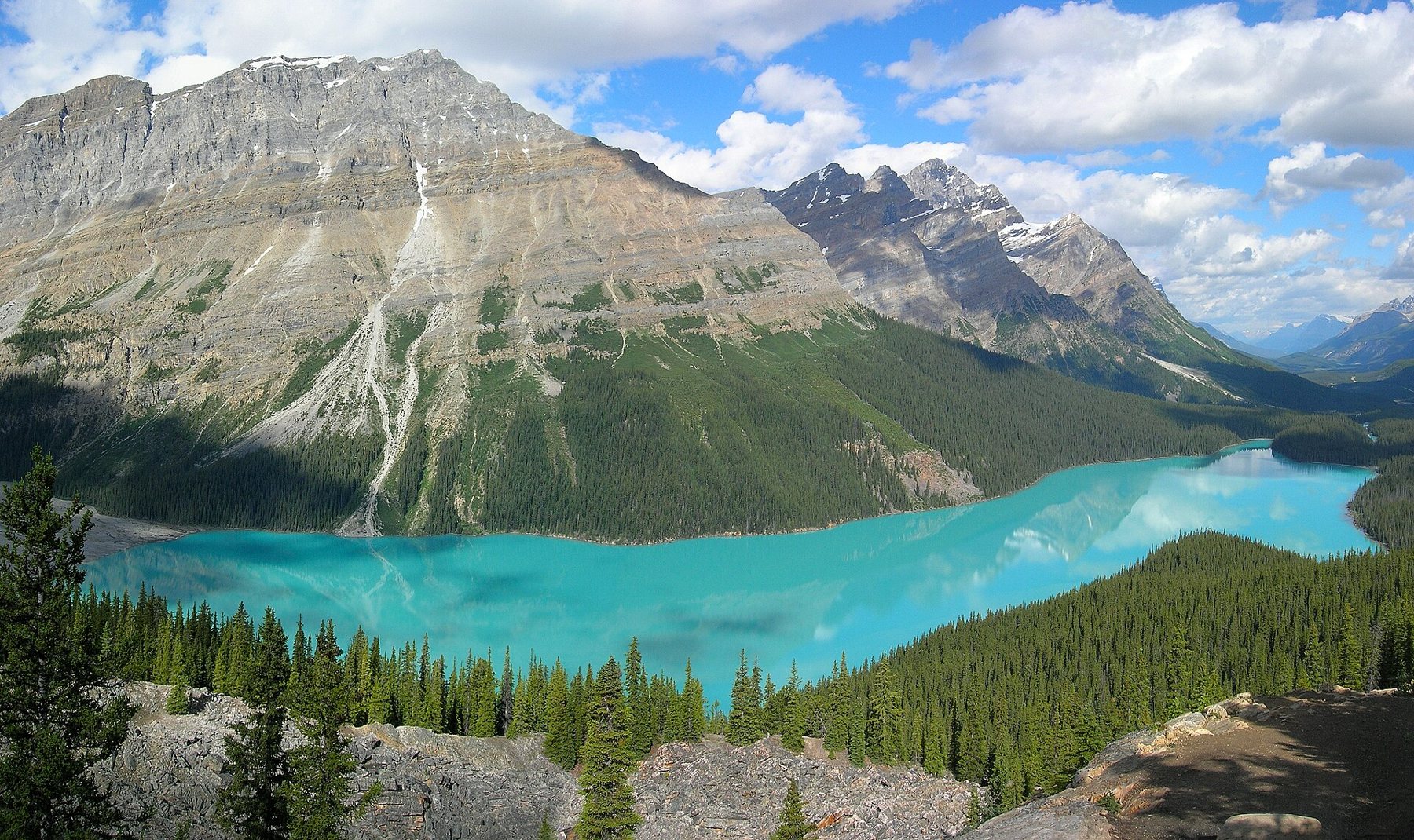
Peyto Lake, a turquoise lake below a long grey ridge in Banff National Park
Peyto Lake, off Highway 93

The highway list

Read north or south; the stops are in driving order.
93

The Icefields Parkway, Lake Louise to Jasper

About 230 km · Banff and Jasper national parks

The road climbs past lakes coloured by glacial flour, crosses two passes and runs beside the Columbia Icefield. There is no fuel or phone signal for long stretches, so it is planned as a full day, not a transfer.

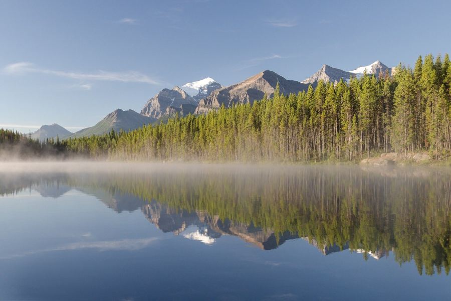
  • Herbert Lakecalm water at dawn
  • Bow SummitPeyto Lake lookout
  • Saskatchewan Crossingthe only services
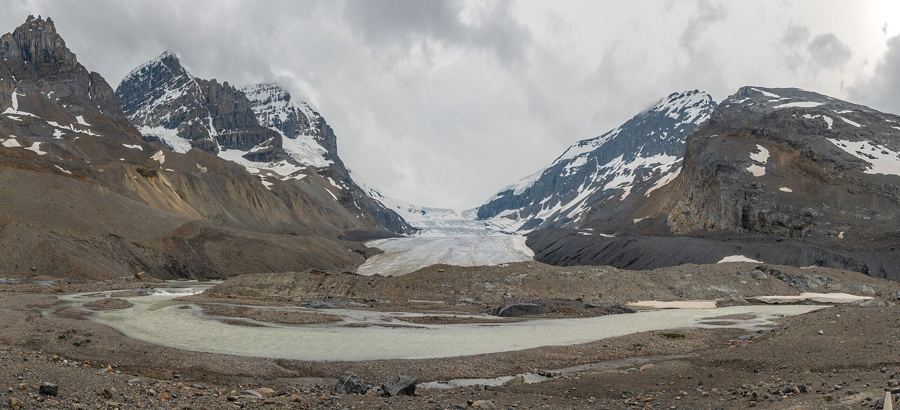
  • Columbia IcefieldAthabasca Glacier
  • Athabasca Fallslast stop before Jasper
The Icefields Parkway, Lake Louise to Jasper
1A

The Bow Valley Parkway, Banff to Lake Louise

About 50 km · the slow road beside the Trans-Canada

A two-lane alternative to the main highway, with lower speeds, picnic stops and a good chance of seeing elk. Part of it closes to night traffic in spring to protect wildlife.

  • Banffstart just west of town
  • Johnston Canyoncatwalks to the falls
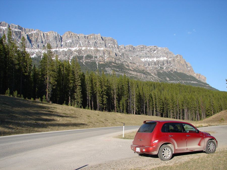
  • Castle Mountainthe long cliff face
  • Baker Creekquiet riverside stop
  • Lake Louiserejoin Highway 1
The Bow Valley Parkway, Banff to Lake Louise
1

The Trans-Canada through Banff and Lake Louise

About 85 km inside the park · Banff National Park

The fenced main road through the park, with wildlife overpasses you drive beneath. It brings you to the townsite and to the lakes at Lake Louise, where the busiest viewpoints now run on shuttles rather than private cars.

  • East gatethe park begins
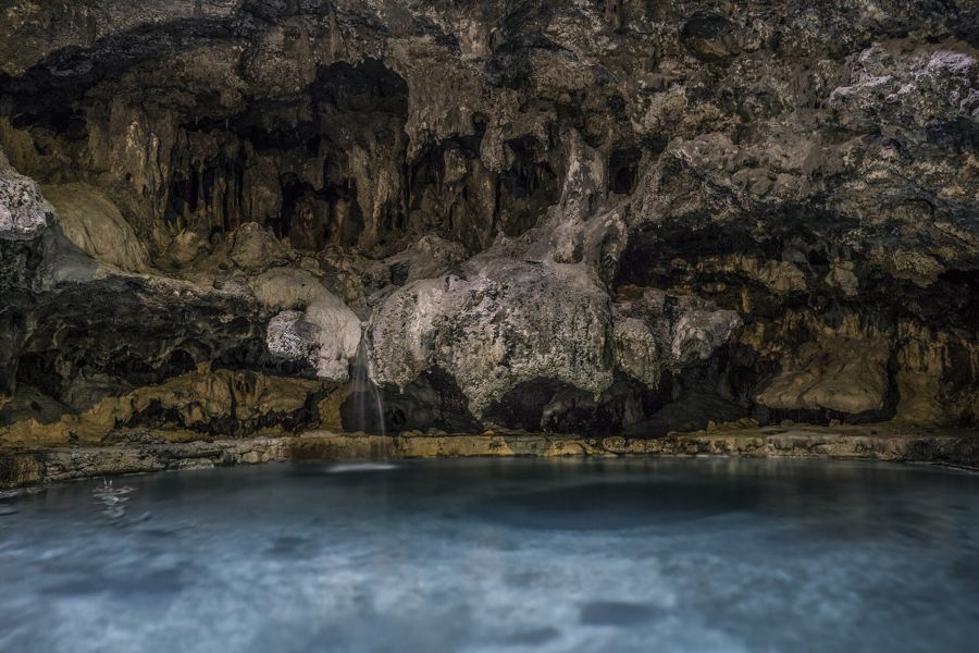
  • Banff townsiteBow Falls and the hot springs
  • Castle Junctionthe turn for the 1A
  • Lake Louise villagepark and ride
  • Moraine Lake Roadshuttles only
The Trans-Canada through Banff and Lake Louise
40

Kananaskis Trail and the Highwood Pass

About 105 km to the pass · Kananaskis Country

Alberta's highest paved road crosses Highwood Pass at over 2,200 metres. The southern section is closed from early December to mid-June, which makes the summer drive feel like an event.

  • Barrier Lakethe gateway reservoir
  • Kananaskis Villagevalley floor
  • Kananaskis Lakesupper and lower
  • Highwood Passalpine meadows
  • Highwood Riverout to the foothills
Kananaskis Trail and the Highwood Pass
5

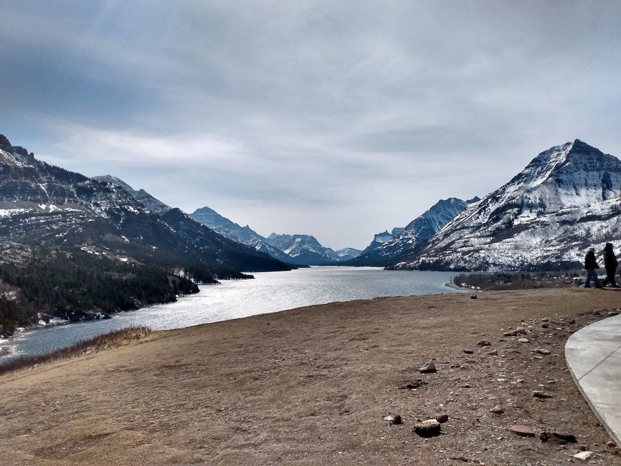
Into Waterton, where the prairie meets the peaks

Cardston to Waterton Park · Waterton Lakes National Park

The mountains rise straight out of grassland here, with no foothills in between. The road ends at a small townsite on Upper Waterton Lake, a short walk from trailheads and the lakeshore.

  • Cardstonlast larger town
  • Park gatethe plains end
  • Red Rock Parkwaya side road west
  • Cameron Fallsin the townsite
  • Upper Waterton Lakethe lakeshore path
Into Waterton, where the prairie meets the peaks
16

The Yellowhead and the roads out of Jasper

Hinton to Jasper, then Maligne Lake Road · Jasper National Park

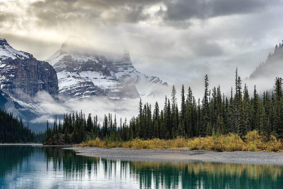
The Yellowhead brings you into Jasper from the east along the Athabasca River. From town, a 45 km side road climbs past Medicine Lake to Maligne Lake, the largest natural lake in the Canadian Rockies.

  • Hintonedge of the foothills
  • Jasper Lakedunes and shallows
  • Jasperthe townsite
  • Maligne Canyonbridges over the gorge
  • Maligne Lakeend of the road
The Yellowhead and the roads out of Jasper
Road notes

Before you turn the key

  • Park passA national park pass is needed to stop in Banff, Jasper and Waterton. Kananaskis has its own conservation pass.
  • FuelFill up in Lake Louise or Jasper before the Parkway; services in between are seasonal.
  • ClosuresHighway 40 south of the Kananaskis Lakes closes in winter. Check the provincial road report on the day.
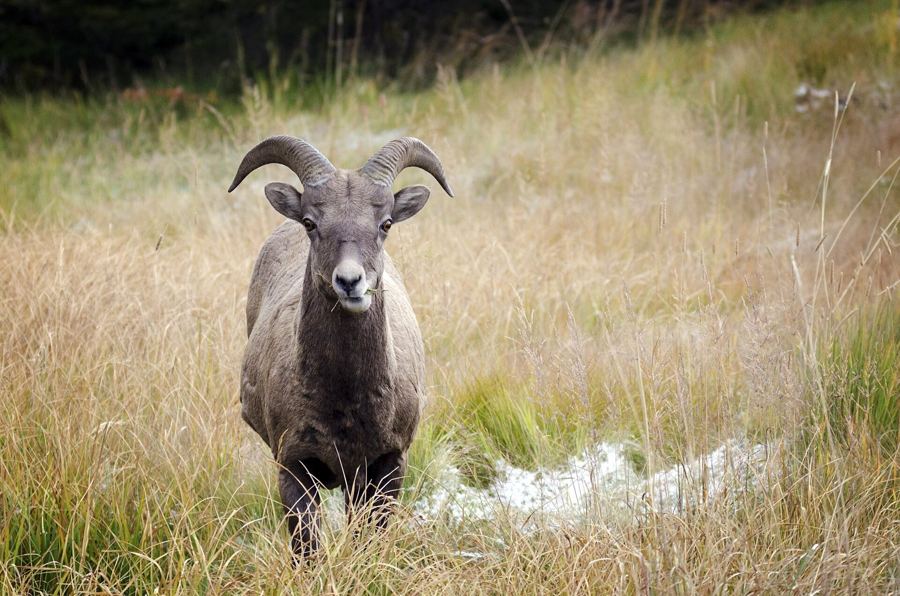
  • WildlifeStay in the car for bears and keep moving. For sheep and elk, slow down and give them the road.
Mountains mirrored in Herbert Lake at the start of the Icefields Parkway

Herbert Lake sits just past the Lake Louise junction, the first stop on Highway 93. On a still morning it holds the whole range upside down, which is the best reason to start the Parkway early.